The Best Sports Bars in New York: Where to Watch the Big Game
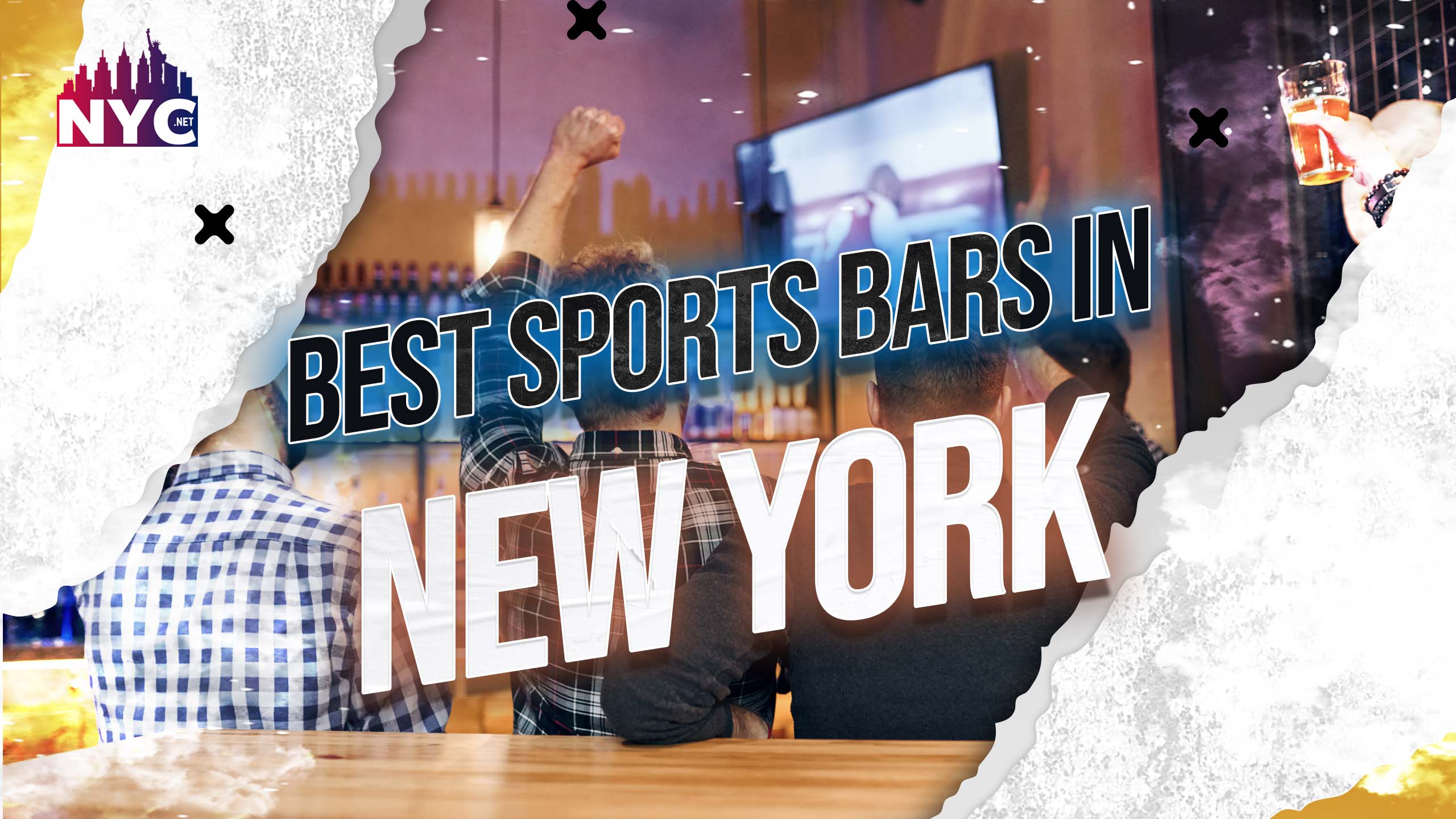
Best Sports Bars in New York
The list of best sports bars in New York is Endless. Hence, it is almost impossible to pick one.
If you are a sports fan visiting or living in New York City, finding a great sports bar to watch your favourite team play can be challenging. People all over the world are highly overwhelmed with their love for sports. People are anxious about whether it is a major tournament or a minor league match.
Undoubtedly, there are plenty of the best sports bars in New York. However, it is hard to know which offers the best.
Luckily, plenty of options in the city offer a great atmosphere. With a variety of televisions and a selection of food and drink options, you are in for a treat.
Hence, In this article, we’ll look at some of the best sports bars in New York City. We will try to walk you through some major sports in New York as well:
Sports in New York:
Sports lovers are everywhere. New York is also catching up. Sports are slowly but rapidly taking over the world. The world is blessed with entertainment, from cheering fans to anxious players.
New York is a bustling metropolis home to various professional and amateur sports. New York offers something for every sports enthusiast, from basketball to baseball, football to soccer.
Hence, let’s have a look at it before we talk about the best sports bars in New York:
Basketball:
Basketball is one of the most popular and beloved games in New York. The city itself is home to two remarkable basketball teams:
- the New York Knicks
- and the Brooklyn Nets,
Both teams play in the Eastern Conference of the NBA and have passionate fan bases. People from all over the world watch the exciting competition between these two.
Baseball:
Furthermore, baseball is another massive hit in New York. It is a very famous and prestigious sport that has some of the most competitive teams like:
- The New York Yankees
- and the New York Mets
The Yankees have won 27 World Series championships, while the Mets have won two. Though both teams play in the same city, their boroughs are different.
For instance;
- The Yankees play in the Bronx at Yankee Stadium,
- while the Mets play in Queens at Citi Field.
Football:
Almost everyone knows about football. I am sure hardly anyone is unaware. It is not just famous in New York but has its name worldwide. People are superbly crazy about this particular sport, aka FIFA.
The city is home to two NFL teams:
- The New York Giants
- The New York Jets
Both teams play at MetLife Stadium in East Rutherford, New Jersey, just across the Hudson River from New York City.
Hockey:
Hockey is a popular sport in New York, with two NHL teams based in the city:
- The New York Rangers
- and the New York Islanders
Both of these outstanding team plays in the Eastern Conference of the NHL.
- The Rangers play at Madison Square Garden,
- while the Islanders play at the Nassau Veterans Memorial Coliseum in Uniondale, New York.
Hockey is also popular at the youth and amateur levels in New York, with many youth and amateur leagues throughout the city.
Soccer:
Lastly, let’s have a quick talk about soccer. This sport rapidly grows in New York with several amateur and professional teams.
Hence, Some of the best soccer teams in New York include:
New York City FC: It is a Major League Soccer (MLS) team that plays at Yankee Stadium
The New York Red Bulls: Another MLS team plays across the river in Harrison, New Jersey.
Best Sports Bars In New York:
Moving forward, since we talked about famous sports, let’s talk about the most anticipated topic; the best sports bars in New York. There are plenty of the best sports bars in New York. Additionally, each comes with its perks. Some have the best atmosphere while others also offer good quality food.
Whatever you want, whatever you decide is on you. However, we can cut your search down by giving you some of the best sports bars in New York.
Hence, here are those options:
Foley’s NY:
Foley’s is a typical sports bar in Midtown Manhattan with a superb assortment of beers, cocktails and pub fare. ESPN has rated it one of the greatest sports bars in the country, and it’s simple to understand why. You’ll never miss a game with over 30 TVs, including a 100-inch projection screen. It is a bar most loved by people with an exciting atmosphere and overwhelming games.
Standings:
This East Village pub may be small, but it delivers a huge punch when it comes to sports. Standings are the ideal place to watch a game with friends. Thanks to its relaxed environment and a wide assortment of speciality beers, it’s all. You won’t have to compete for a decent view with only a few TVs. Instead, you can enjoy frizzy beers with some gossip and games.
The Ainsworth:
Furthermore, The Ainsworth is a prominent sports bar in Chelsea, Midtown and the Financial District. The slick, elegant atmosphere makes it ideal for a romantic night, while the huge range of screens and bar cuisine makes it suitable for watching a game. Hence, there is no need to have an angry partner when you both can enjoy the night alone by watching your favourite games.
The Gym:
This sports bar in Midtown Manhattan is unique in its location inside an actual gym. You can watch the game while surrounded by workout equipment and even grab a healthy snack or smoothie simultaneously. It’s a great option for those who want to combine their love of sports with their fitness routine.
Brother Jimmy’s BBQ:
It is as exciting as it sounds. Trust me.
With multiple locations throughout the city, Brother Jimmy’s is a go-to spot for sports fans who love barbecue.
It gives some of the best features, such as:
- The laid-back atmosphere
- Southern-style food makes it a great spot to watch a game,
- and the large selection of televisions ensures you will take advantage of every moment.
The Grayson
This Williamsburg bar is a favourite among Brooklynites for its extensive beer list and fun atmosphere. With various televisions and a menu of comfort food, it’s a great spot to catch a game with friends.
Bounce Sporting Club:
Other best bars in New York include the Bounce Sporting Club. It is a hip club with a lively vibe in Flatiron and the Meatpacking District. It’s a terrific place to watch a game while enjoying a night out on the town, with an extensive drink menu and plenty of screens.
Carlow East:
Locals love this Upper East Side hangout for its cosy atmosphere and amazing drink specials. The walls are adorned with sports memorabilia, and numerous televisions are available to watch the game.
The Folly:
This entertaining Greenwich Village spot features a wonderful range of food, drink, and games, such as a pool and darts. With plenty of televisions, it’s a perfect place to watch a game while having a good time with friends.
Shorties:
Moreover, Shorty’s is a popular spot for sports fans who love Philly cheesesteaks in Hell’s Kitchen and the Financial District. The bar has a laid-back atmosphere and a great selection of televisions, making it a great spot to catch a game.
The Winslow:
In the East Village, this British-inspired pub has a comfortable ambience with a wonderful assortment of food and drinks. It’s a terrific place to watch a game with friends because the pub has many televisions.
Professor Thom’s:
This iconic East Village tavern is also known for its Boston sports enthusiasm. It’s a terrific place to watch a game for any sports enthusiast. It’s usually a wonderful place to watch a game, with a huge range of screens and a lively ambience.
Stout NYC:
Let’s remember Stout. Stout NYC is a favourite spot for sports fans, with locations in Midtown and the Financial District. The bar serves a wide variety of beer and cuisine, and with over 20 televisions, you’ll never miss a game.
Finnerty’s:
This San Francisco-inspired bar in the East Village is a great spot for West Coast sports fans. With a fun atmosphere, a great selection of beer and bar food, and plenty of televisions, it’s always a fun spot to watch a game.
The three Monkeys:
Lastly, this bar in Midtown Manhattan offers:
- a cosy atmosphere
- and a great selection of food and drinks.
With plenty of televisions throughout the bar, it’s a great spot to catch a game while enjoying a night out with friends.
Conclusion:
In conclusion, various best sports bars in New York are available. It could be daunting to choose one but not with our list. Whether you’re looking for a classic sports bar experience or something more upscale, there’s a spot for everyone.
We hope you pick up the best one for you! Good Luck!